
New Mapper Tool Displays Indiana’s Green Infrastructure
A new online tool shows where green infrastructure exists in Indiana and where it is needed.
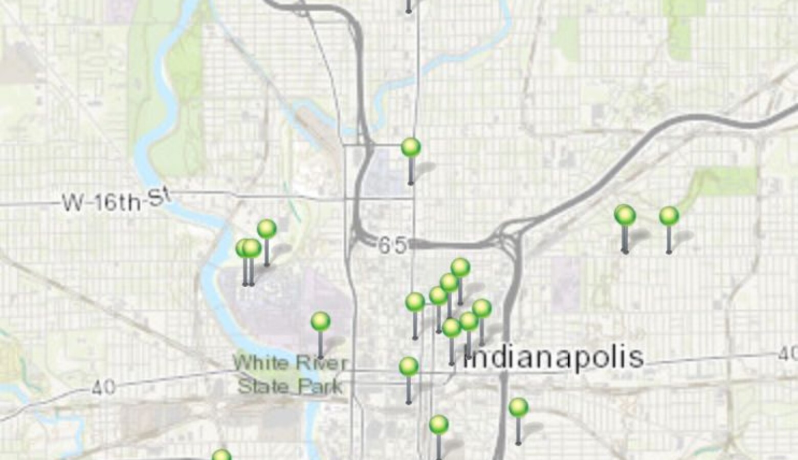
Indiana University’s Environmental Resilience Institute created the Indiana Green City Mapper. It tracks infrastructure like parks, food gardens, and urban forests. Sarah Mincey is managing director of E-R-I. She says green infrastructure can bring sustainable benefits to communities, unlike gray infrastructure — things like roads, bridges, and pipelines. “It’s really easy for those kinds of infrastructure to break down over time, and requires really big investments to rebuild them.”
But Mincey says E-R-I plans to study more than just where green infrastructure is — they want to find out who’s missing out on its benefits. For example, shade trees that protect people from extreme heat are more likely to be planted in wealthier neighborhoods.
Mincey says the map is a living resource that will evolve and expand to more cities as data becomes available. Cities can submit their green infrastructure info at E-R-I dot I-U dot edu.