New hardiness zones won’t change much, but some Indiana gardeners try out new plants

Half the country is now in a slightly warmer hardiness zone than they were a decade ago. These zones show an average of the coldest temperature on the coldest night every year for the past 30 years.
The updated hardiness zone map from the U.S. Department of Agriculture can help Hoosiers know what plants are likely to survive the winter in their area.
Most of the northern half of the state moved from zone 5b to 6a. Some of the southwest corner of the state is in 7a — a brand new, warmer zone for Indiana.
Jo Ellen Meyers Sharp — also known as The Hoosier Gardener — has been writing about gardening in the state for about 30 years. She said experienced gardeners have already noticed those lows aren’t as cold as they used to be. All the map does is give more people a license to experiment.
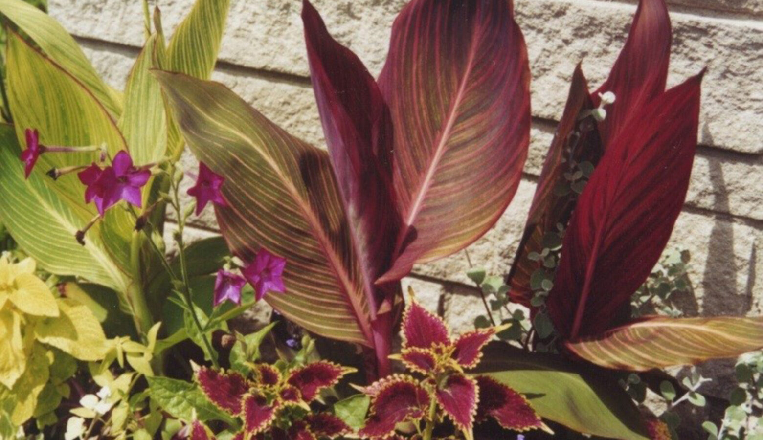
Meyers Sharp planted some cannas this year — large, tropical-looking plants with big leaves, often with red or yellow flowers.
“I’m going to dump some leaves on them and see if they come back next year because they really aren’t hardy here,” she said.
But if you’re not the gambling type, the way you garden might not change much. Karen Mitchell is a consumer horticulture specialist with Purdue University Extension. She said she still recommends planting for a zone colder than where you are.
Mitchell said you can try planting a little earlier based on the warmth of your soil —using a thermometer with a temperature gauge below freezing. But she said there’s no guarantee temperatures won’t get down low enough to kill some plants — the weather can be unpredictable.
“Even though there’s a dramatic change in the looks of the hardiness map, it’s not going to dramatically change how we garden,” Mitchell said.
Todd Rounsaville is a USDA horticulturist with the U.S. National Arboretum. He said climate change is certainly a factor in these shifts, but the map is not a reliable way to show how the Earth is warming.
“We expect that if the map is done again, that in the future we’ll see the hardiness zones continue to shift northward because of broader changes in global climates. But the plant hardiness zone is a volatile statistic — it’s one data point a year,” he said.
Rounsaville said the new map also has more data than the previous one.
Understanding “microclimates” in the new map
There are pockets of the Indiana hardiness map that look a different from the surrounding area — such as in Montgomery County, Ripley County, and Indianapolis. These are microclimates — small areas where the climate is somewhat different.
Rounsaville said there can be several reasons for a microclimate. In the case of Indianapolis, it could be the heat island effect — where areas with more hard surfaces absorb the sun’s heat. He said topography can also play a role — lower points like valleys can be colder.
Join the conversation and sign up for the Indiana Two-Way. Text “Indiana” to 73224. Your comments and questions in response to our weekly text help us find the answers you need on statewide issues, including this series on climate change and solutions.
Areas around your yard can even have a slightly different climate. Rounsaville said plants on the south side of your home may get more sun in the winter than those planted on the north side.
Karen Mitchell said areas that don’t have many trees to block the wind will also be colder.
Rebecca is our energy and environment reporter. Contact her at [email protected] or follow her on Twitter at @beckythiele.

