This page/content is part of the IPR News Web Archive.
It is no longer maintained and may not meet accessibility standards. To request content in an accessible format, contact us.
Mapping Potholes: Muncie Introduces New Reporting Tool
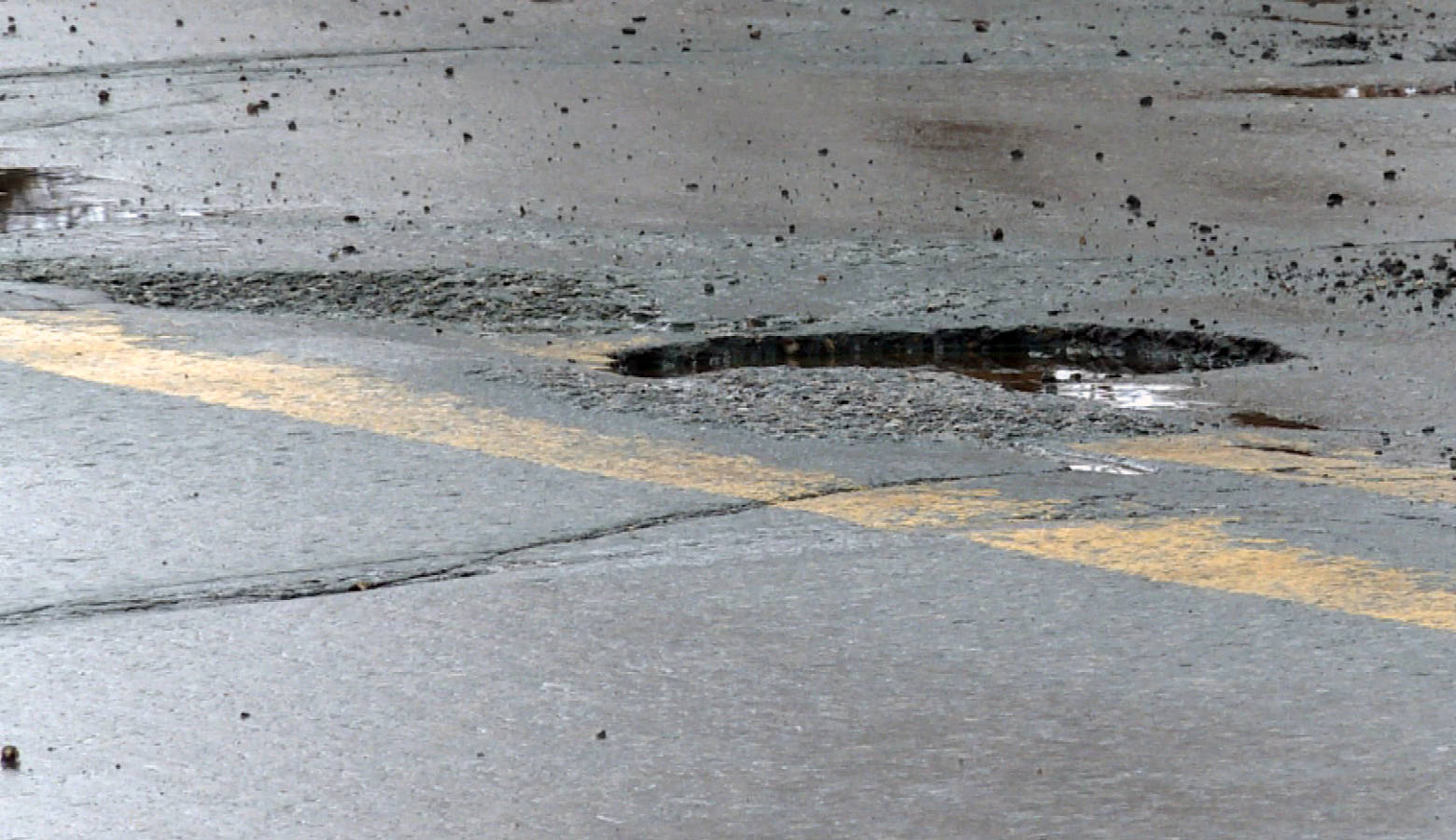
Muncie has a new online form to report potholes and other infrastructure problems directly to city officials. As IPR’s Stephanie Wiechmann reports, the city wants the new system to replace an older form and an informal Twitter account.
While Muncie Mayor Dan Ridenour’s administration says they’ll still get updates on the @MunciePotholes Twitter account, they want residents to use a new online reporting form that’s been built with GIS mapping technology.
Here’s the Link: Muncie Street Problem Reporting Hub
If a Muncie resident is on a phone with location services turned on and standing near the pothole, the reporting form will map the hazard itself. For those using a computer, the city suggests typing in the nearest address.
A link to the new pothole reporting page is prominently displayed on the city website’s home page.